

Trusted source of coastal cottages for over 10 years

Professionally managed and regularly inspected

Book securely with the property manager
Norfolk is one of the best counties in England for coastal walking. The routes are usually easygoing, but they still give you plenty of variety: wide beaches, dunes, pinewoods, salt marsh, cliffs, piers, fishing villages and nature reserves.
The Norfolk Coast Path is the main long-distance route. It links Hunstanton, Brancaster, Wells-next-the-Sea, Blakeney, Cley, Sheringham and Cromer, then continues east along the wider Norfolk coast. Many of the walks below use sections of this route, so they’re easy to adapt if you want a shorter or longer day.
Dog rules change from beach to beach. Some Norfolk beaches welcome dogs all year, while others have seasonal restrictions from spring to early autumn. Always check the signs at the beach entrance before setting off. You may also find it helpful to read our dog friendly beach holiday guide for more tips and advice.
Old Hunstanton to Holme-next-the-Sea
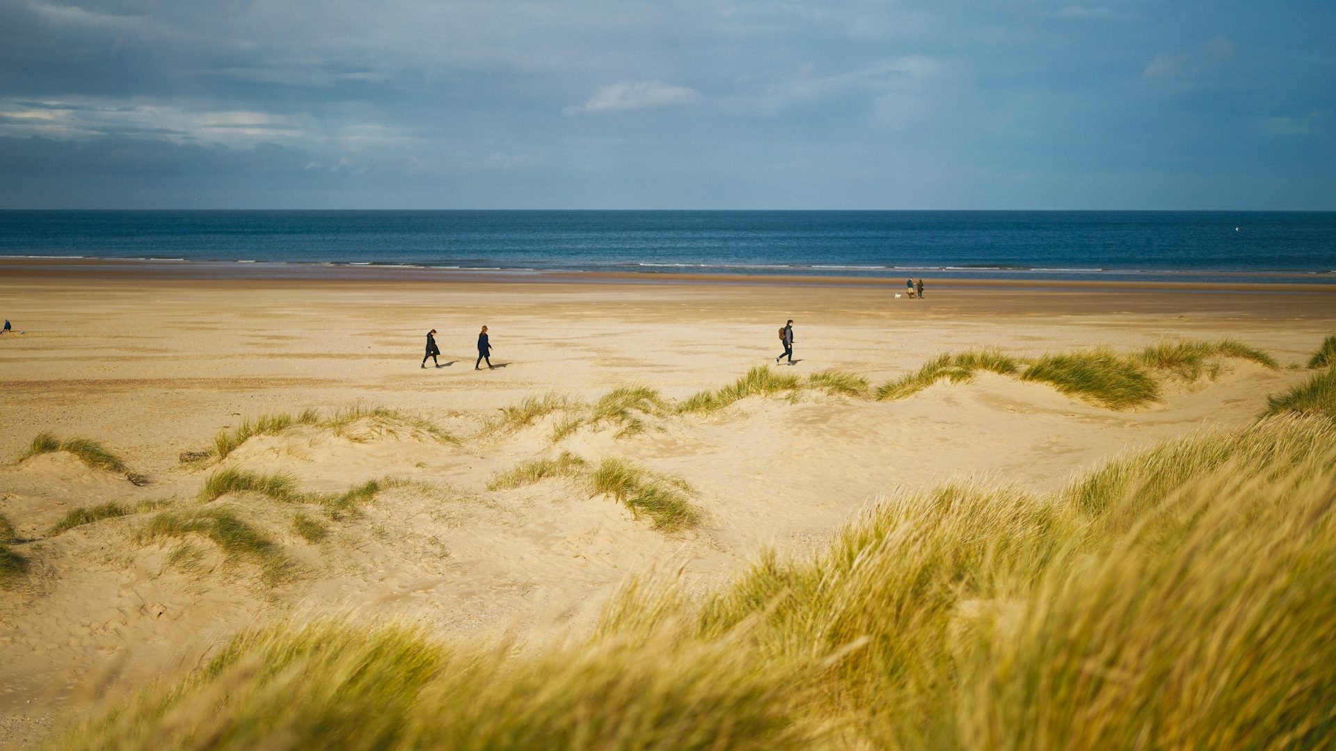
Old Hunstanton is a good place to start if you want a beach walk without navigating the busier part of Hunstanton. The beach sits below striped cliffs and has wide sand at low tide. From here, you can walk north-east towards Holme-next-the-Sea, passing dunes, beach huts and open views across The Wash.
The walk is easy to follow if you stay near the beach, but tide times are definitely a factor. At high tide, parts of the beach can become narrower, so check conditions before setting out. Holme Dunes National Nature Reserve sits near the far end of the route and is known for birds, salt marsh and dunes.
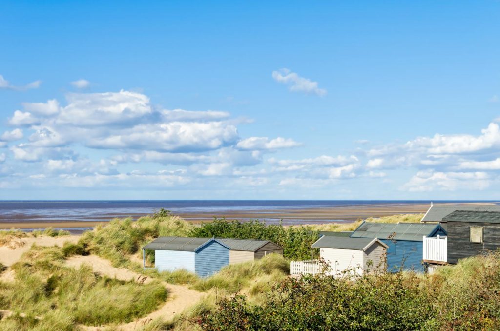
Distance: around 4 miles round trip
Difficulty: easy
Best for: sand dunes, beach walking and birdwatching
Nearby points of interest include Old Hunstanton Lighthouse, the remains of St Edmund’s Chapel, Hunstanton Cliffs and the Hunstanton Heritage Gardens. The main resort area of Hunstanton is close by if you want cafés, shops, fish and chips or a shorter seafront walk.
Old Hunstanton Beach is one of the better Norfolk beaches for dog owners, with no main seasonal dog ban. Dogs should still be kept under close control around dunes, wildlife areas and nesting birds.
Brancaster Beach and Scolt Head views
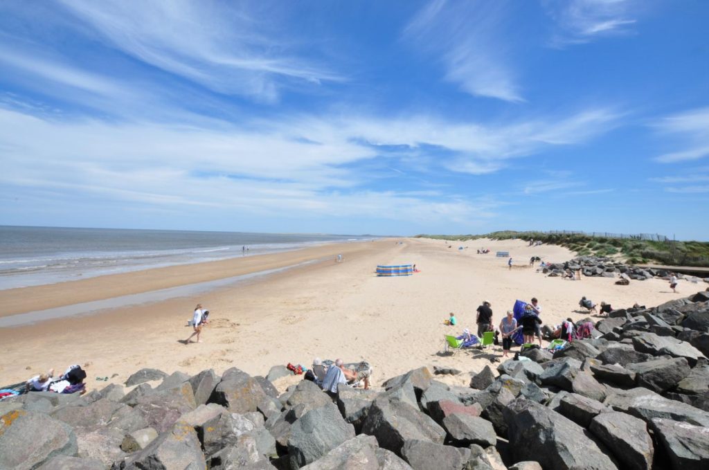
Brancaster Beach gives you one of the widest beach walks on the north Norfolk coast. The beach is backed by dunes and looks out towards Scolt Head Island, a long shingle and sand barrier island managed as a nature reserve.
An easy walk starts from Brancaster Beach car park and follows the sand west or east depending on the tide. At low tide, the beach opens out into a huge stretch of sand. There are also views towards the remains of the SS Vina, a shipwreck on the sands. We recommend you don’t walk out to it, as the surrounding sand and tide can be dangerous.
This is a good walk for people who want space rather than a village-to-village route. The main things to watch are tide times, soft sand and exposed conditions. There’s little shelter once you’re out on the beach.
Distance: around 4 to 5 miles round trip
Difficulty: easy to moderate
Best for: large sandy beach, dunes, salt marsh and birdlife
Brancaster is also close to Titchwell Marsh, one of the best-known bird reserves in Norfolk. It’s worth adding if you want hides, reed-beds, freshwater lagoons and a chance to see waders and wildfowl.
Dogs are allowed on Brancaster Beach, but there may be restrictions or lead requests near wildlife areas and during bird nesting season. Check the signs at the car park and keep dogs away from fenced-off zones.
Burnham Overy Staithe to Holkham Beach
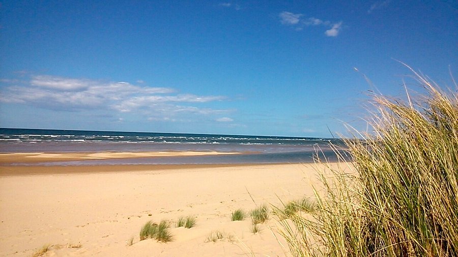
This is one of the best walks on the Norfolk coast if you want a mix of creek, dunes and beach. Start at Burnham Overy Staithe and follow the raised bank beside the creek towards the dunes. From there, you can continue through the dunes and out onto the beach, with Holkham Bay opening up ahead.
The first part of the walk follows the water, with boats, salt marsh and wide skies. Once you reach the dunes, the route becomes sandier and more exposed. At Holkham, the beach is huge at low tide, with pinewoods behind the sand and long views along the coast.
Holkham National Nature Reserve is one of the main landmarks on this stretch. Holkham Hall is inland, while Wells-next-the-Sea is further east along the beach and through the pinewoods. The Lookout Café at Lady Anne’s Drive is a handy stop if you extend the walk towards Holkham Gap.
Distance: around 6 miles round trip
Difficulty: moderate
Best for: dunes, pinewoods, large beach and big sea views
This route is best planned around the tide. The beach is wide, but the distance from the car park or access points to the sea can be longer than expected at low tide.
Holkham is one of the best-known dog-friendly beaches in Norfolk and allows dogs all year, making it a popular beach for winter walks. There are dog zoning rules, and dogs must be kept on leads in the most sensitive areas between 1 April and 31 August. Follow signs, especially around nesting birds and the pinewoods.
Wells-next-the-Sea to Holkham Gap
Wells-next-the-Sea is one of the most popular starting points for a coastal walk in the East of England. The beach is reached by Beach Road from the town, with the harbour and quay inland from the sand. Once you reach the beach, the route towards Holkham Gap is clear and rewarding.
The walk follows the line of colourful beach huts, then continues along the sand or through the pinewoods towards Holkham. The beach is wide, and the pinewoods give some shelter from the wind. At Holkham Gap, you can stop near the Lookout Café before returning the same way.
Wells itself is worth a visit before or after the walk. The quay, granary building, narrow-gauge railway, shops and fish and chip shops make it one of the busiest coastal towns in north Norfolk.
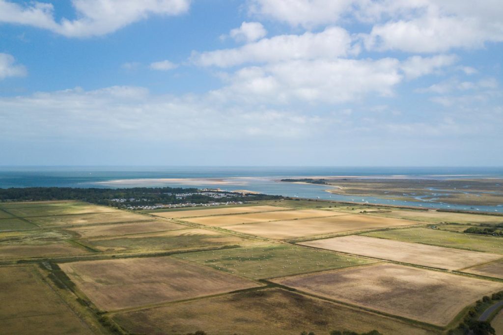
Distance: around 6 miles round trip
Difficulty: easy to moderate
Best for: beach huts, pinewoods, sand and family walks
This walk is easy to shorten. Families may prefer to walk from the beach car park to the huts and back. Walkers who want more distance can continue west towards Burnham Overy Staithe or east towards Stiffkey and Morston on the Coast Path.
Dogs are allowed on some parts of Wells Beach, but there are restricted and sensitive areas, including zones around seals and wildlife. Dogs should also be kept under control in the pinewoods and on boardwalks. Check the signs at the beach entrance before choosing your route.
Blakeney to Morston and Cley
Blakeney is one of the best places in Norfolk for a marsh walk. The village has a quay, flint cottages, cafés, pubs and access to the Coast Path. From the quay, you can walk west towards Morston or east towards Cley.
The shorter option is Blakeney to Morston and back. This follows the edge of the salt marsh, with views over creeks and mudflats. Morston Quay is the main departure point for boat trips to see seals around Blakeney Point. The National Trust manages Blakeney National Nature Reserve, which includes salt marsh, shingle, dunes and important wildlife habitats.
For a longer walk, continue east from Blakeney towards Cley-next-the-Sea. Cley is known for its windmill, smokehouse, flint buildings and Norfolk Wildlife Trust visitor centre. The walk is mostly flat, but it can feel exposed in wind or rain.
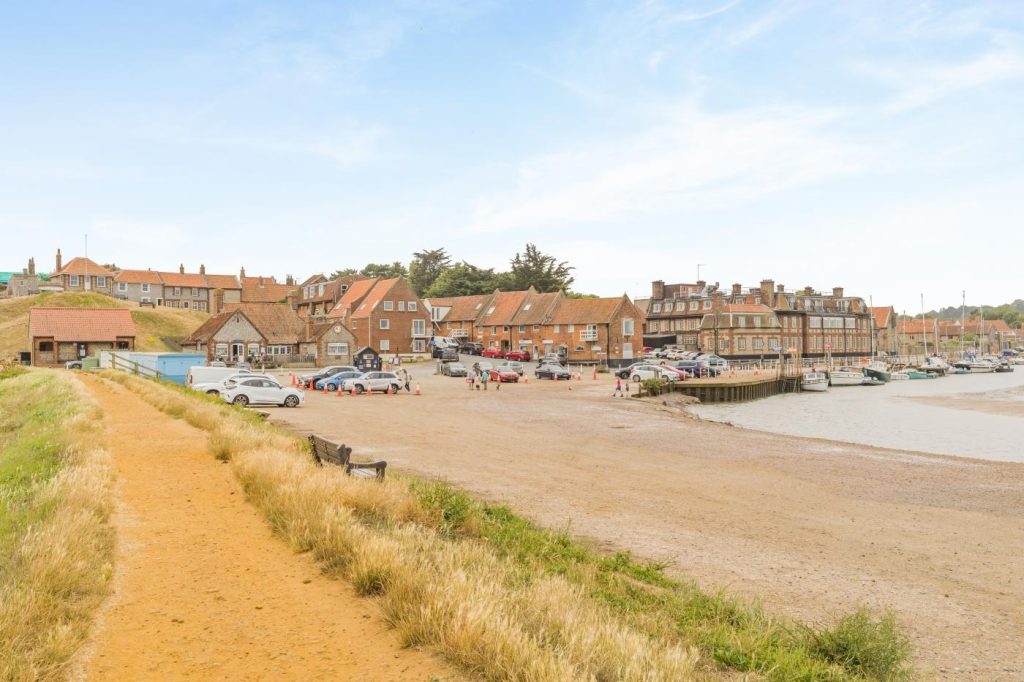
Distance: around 6 miles one way to Cley, or 4 miles round trip to Morston and back
Difficulty: easy
Best for: salt marsh, birdwatching, seal trips and village stops
This is not a sandy beach walk. It’s better for wildlife, marsh views, boats and villages. Wear shoes that can cope with muddy or damp paths after wet weather.
Dogs can use many of the paths around Blakeney, Morston and Cley, but this is a sensitive wildlife area. Keep dogs on leads near birds, livestock, marsh edges and any signed nature reserve areas. Dogs are not suitable for every seal trip, so check with boat operators before booking.
Cley to Weybourne
This is a more exposed walk than the beach routes around Wells and Holkham. Start at Cley-next-the-Sea and head east along the Coast Path towards Salthouse and Weybourne. The route passes close to Cley Marshes, shingle banks, reedbeds and open sea.
Cley Marshes is one of Norfolk’s best-known birdwatching sites. The windmill is a major local landmark, and the village has cafés, a deli and the Cley Smokehouse. From Cley, the path heads towards Salthouse, then continues along the coast to Weybourne.
The beach here is shingle rather than sand. Walking on shingle is slower and harder on the legs, so allow more time than the distance suggests. The coast is open and can be windy, with little shelter along some sections.
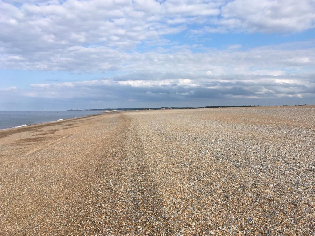
Distance: around 6 miles one way
Difficulty: moderate
Best for: shingle beach, bird reserves, sea views and coastal walking
Weybourne has a village pub, beach access and the North Norfolk Railway station inland from the coast. If you plan the walk carefully, you can use buses or the railway to avoid retracing the full route.
Dogs are allowed on many parts of this coastline, but birdlife is a major feature around Cley and Salthouse. Keep dogs under close control, especially near reserves, grazing areas and shingle nesting sites.
Weybourne to Sheringham
The walk from Weybourne to Sheringham gives you a different type of Norfolk coast. The land starts to rise, and the route moves from shingle and low coast towards cliffs, heath and views over the North Sea.
From Weybourne, follow the Coast Path east. The route passes Weybourne Hope and heads towards Sheringham Park and the cliffs above the town. This part of the coast has more height than the marshes further west, so it gives better viewpoints and a bit more effort.
Sheringham is a great Norfolk town for beach holidays and is a good place to finish. The town has a beach, promenade, shops, cafés, pubs, the North Norfolk Railway and a fishing history linked with crab and lobster. Sheringham Museum sits near the seafront and is worth visiting if you are interested in the local maritime history.
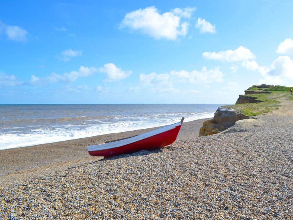
Distance: around 5 miles one way
Difficulty: moderate
Best for: cliffs, heathland, sea views and railway links
This walk works well with public transport. The Coasthopper bus and the North Norfolk Railway can help with the return, depending on dates and timetables.
Sheringham Beach has seasonal dog restrictions on parts of the beach from 1 May to 30 September. Dogs are still allowed in some areas, and the promenade or coast path can be better options in summer. Check signs when you arrive.
Sheringham to Cromer
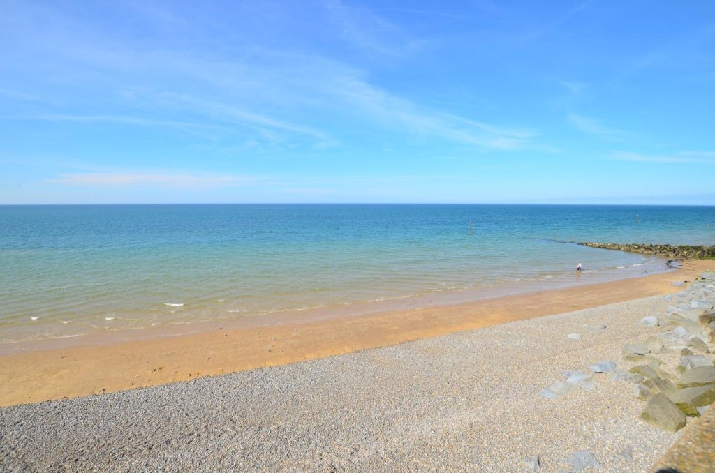
This is one of the best short walks on the Norfolk coast if you want sea views and a clear start and finish. The route links two of Norfolk’s best-known seaside towns and uses clifftop paths, beach sections and the Coast Path.
From Sheringham, head east and climb towards Beeston Bump. This hill is one of the most recognisable landmarks on the route and gives wide views across the coast. From there, the path continues towards West Runton, East Runton and Cromer.
Cromer is a good finish point because there’s plenty to do when you arrive. The pier, Pavilion Theatre, beach, promenade, RNLI lifeboat station and Cromer Museum are all close to the centre. Cromer is also closely linked with Cromer crab, and there are plenty of places to eat after the walk.
Distance: around 4.5 miles one way
Difficulty: moderate
Best for: clifftop walking, Beeston Bump, seaside towns and Cromer Pier
The walk is not difficult in mountain terms, but there are climbs, cliff paths and sections where erosion can affect the route. Keep to marked paths and avoid cliff edges.
Dog rules are more restricted here than on beaches such as Holkham or Old Hunstanton. Cromer, Sheringham and West Runton have seasonal dog restrictions on parts of the beach from 1 May to 30 September. The clifftop route is often a better summer option with dogs, but check local signs before going onto the sand.
Overstrand to Cromer
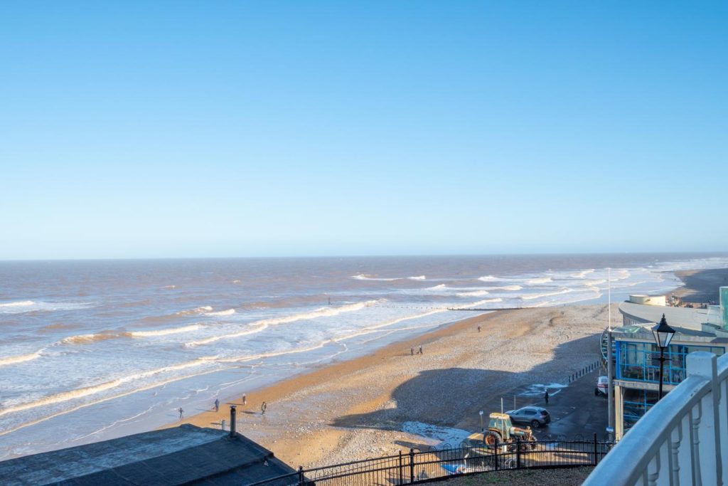
Overstrand is a quieter village east of Cromer and west of Mundesley, with a beach, cliffs and a more residential feel than the larger resorts. The walk from Overstrand to Cromer gives you sea views and a shorter route than Sheringham to Cromer.
You can walk along the clifftop path where open, following signs towards Cromer, or use beach sections when tide and conditions allow. The cliffs on this part of the coast are prone to erosion, so check the route and keep away from cliff edges.
Distance: around 3.5 miles one way
Difficulty: easy to moderate
Best for: cliff views, quieter beach sections and Cromer as a finish
The walk ends in Cromer, where you can add the pier, seafront, shops and cafés. This makes it a good half-day route if you want a walk with a clear destination but not a full day out.
Overstrand itself has a sandy and shingle beach depending on tide, plus a café and village facilities. It’s a good alternative if Cromer is busy.
Dogs are restricted on parts of Overstrand and Cromer beaches between 1 May and 30 September. Outside the main restriction period, this can be a good dog walk, but you still need to watch tide times and cliff conditions.
Winterton-on-Sea to Horsey Gap
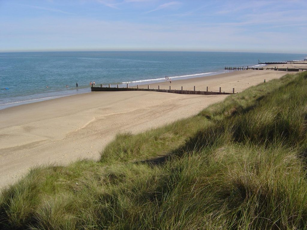
Winterton-on-Sea is one of the best places on the east Norfolk coast for a beach and dune walk. The village has a sandy beach, large dune system and access to long routes towards Horsey and Hemsby.
A good route starts at Winterton Beach and heads north along the sand or through the dunes towards Horsey Gap. This stretch is known for grey seals, especially in winter when pups are born. If seals are present, keep well away and never walk between a seal and the sea.
The dunes are part of the appeal, but they are also sensitive. Stick to paths where possible and avoid fenced-off areas. The beach can feel remote once you leave Winterton, so take water and check the weather.
Distance: around 6 miles round trip
Difficulty: easy to moderate
Best for: dunes, seals, open beach and wildlife
Horsey Windpump is a nearby landmark if you want to add an inland stop. It sits beside the Broads and gives this area a different feel from the north Norfolk marshes.
Winterton Beach is usually a good option for dog owners, with no main seasonal beach ban, but dogs should be kept on leads near seals, birds and livestock. During seal pupping season, parts of the beach may be fenced or signed. Follow all local notices.
Sea Palling to Happisburgh
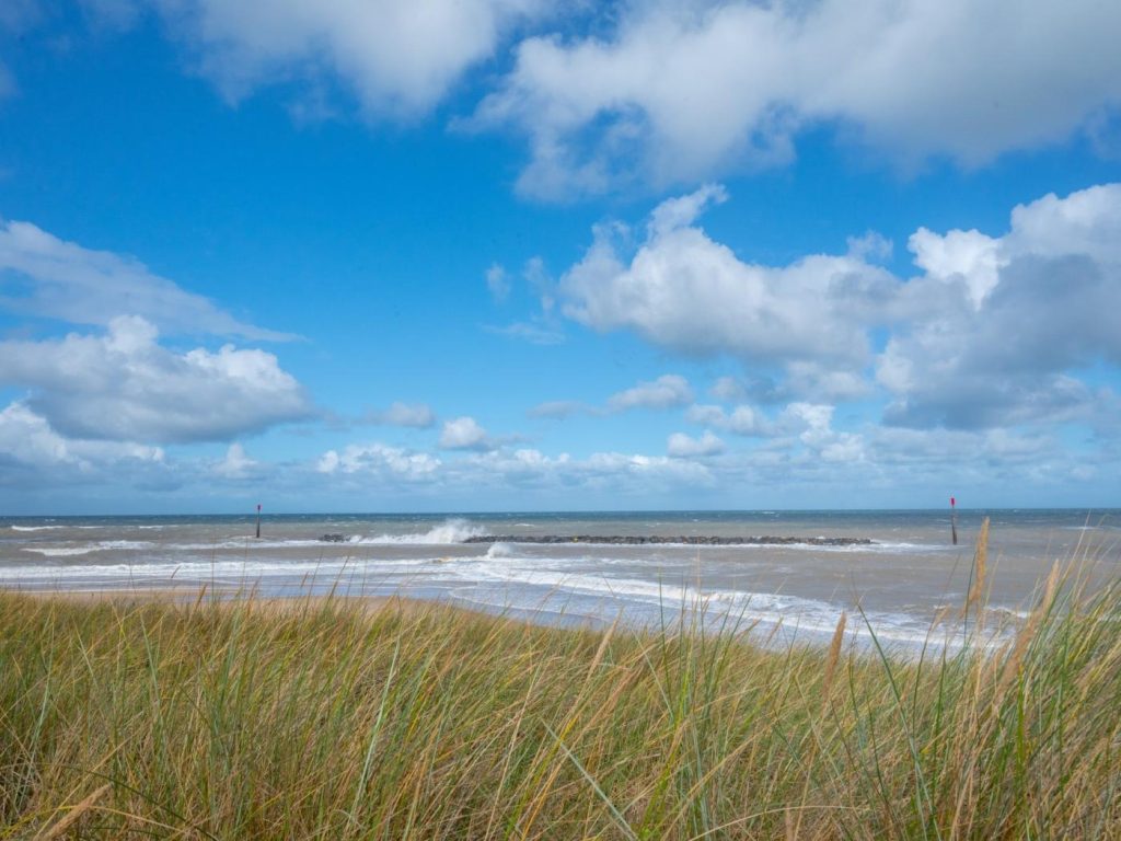
Sea Palling sits on the east Norfolk coast and is known for its sandy beach and offshore reefs. The walk south towards Happisburgh gives you beach, dunes, sea defences and one of Norfolk’s most recognisable lighthouses.
This route needs planning because the coastline is affected by erosion, and beach walking depends on tide and conditions. In places, you may need to use inland paths or lanes rather than staying on the sand. Check the route before setting out.
Happisburgh Lighthouse is the main landmark at the far end. The village is also known for coastal erosion, with cliff loss clearly visible in the surrounding area. Keep away from cliff edges and do not walk below unstable cliffs.
Distance: around 6 miles one way
Difficulty: moderate
Best for: sandy beaches, sea defences, dunes and Happisburgh Lighthouse
Sea Palling has cafés, toilets and beach facilities in season, while Happisburgh is quieter. This walk is better for people who want a more open, less resort-focused stretch of coast.
Sea Palling Beach has seasonal dog restrictions on parts of the beach from 1 May to 30 September. Happisburgh is often more flexible for dogs, but local signs should be checked. Keep dogs under control around dunes, cliffs and any wildlife areas.
Planning a Norfolk coastal walk
For wide sand and dunes, start with Old Hunstanton, Brancaster, Holkham or Winterton. For salt marsh and wildlife, Blakeney, Morston, Cley and Salthouse are better choices. For cliff views and seaside towns, Sheringham to Cromer is the easiest route to plan.
See Best Beaches in Norfolk for Families >
Tide times matter on this coast. Large beaches such as Holkham, Wells, Brancaster and Red Wharf-style tidal areas can change a lot between low and high water. Some shingle and cliff routes are harder underfoot than they look on a map.
Dog owners have plenty of choice in Norfolk, but summer restrictions apply on several popular beaches, including Cromer, Sheringham, West Runton, Overstrand, Mundesley and Sea Palling. Holkham, Old Hunstanton and Winterton are often better options for dog walks, but wildlife rules still matter.
See Norfolk Dog Friendly Coastal Cottages >
A well-placed stay can make these walks much easier, especially if you want to leave the car behind for part of the day. Browse our Norfolk coastal accommodation to compare nearby options.