

Trusted source of coastal cottages for over 10 years

Professionally managed and regularly inspected

Book securely with the property manager
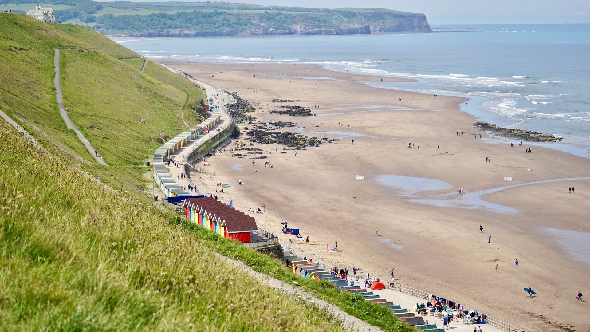
Yorkshire’s coast is not just a line of beaches. It has fishing villages, fossil cliffs, Victorian resorts, seabird colonies, castle ruins, cliff railways, harbour walls and long-distance walking routes linking beaches, villages and clifftop viewpoints. Some beaches are built for a family day out while others make more sense if you want a walk first and a beach stop afterwards.
The main coastal walking route is the Cleveland Way, which starts inland at Helmsley and finishes at Filey Brigg after following the North Yorkshire coast from Saltburn southwards. Around Flamborough and Bridlington, the coast changes again, with chalk cliffs, nature reserves and wider resort beaches.
Here are some of the best Yorkshire beaches for walks, views and days out, with practical route ideas and local landmarks to help you choose where to go.
Filey Beach and Filey Brigg
Filey gives you a simple mix of wide sand, seafront facilities and walking routes from the edge of town and is one of the best seaside towns in Yorkshire. The town sits above a long sandy bay, with a seafront promenade, beach chalets, gardens, cafés and a wide sweep of sand at low tide. It is also a sensible stop for walkers because the Cleveland Way passes through Filey before finishing at the Brigg.
The main walk is Filey Brigg, the long rocky headland at the northern end of the bay. The circular route from Filey is just over 4 miles and is usually classed as easy, although the rocky sections on the Brigg need care if you leave the main path. It is a good half-day walk, with views back across Filey Bay and out towards the North Sea.
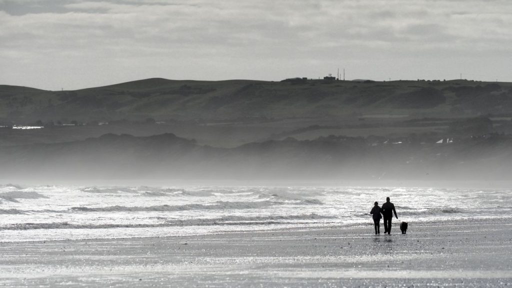
Filey Brigg is also important because it marks the end of both the Cleveland Way and the Yorkshire Wolds Way. That gives the town more walking significance than many visitors realise. At low tide, the rock pools around the Brigg are worth exploring, but the rocks can be slippery and the tide changes quickly around the headland.
For a day out, combine the beach with Glen Gardens, the Crescent Gardens, Filey Bird Garden and Animal Park, or a walk south towards Hunmanby Gap. Scarborough is only a short drive or rail journey away if you want a busier resort later in the day.
Direction: Filey to Filey Brigg circular
Distance: Just over 4 miles
Difficulty: Easy to medium, depending on whether you explore the rocks
Look out for: Filey Brigg, rock pools, the Cleveland Way marker, views across Filey Bay
Runswick Bay
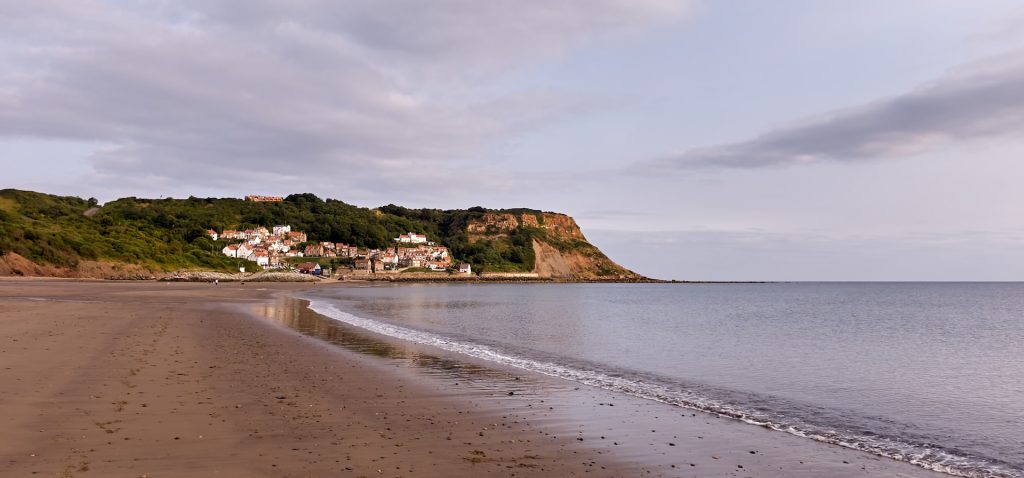
Runswick Bay is one of the most attractive villages on the Yorkshire coast, with cottages tucked into the slope above a sheltered sandy beach. It is small, steep and compact, so it pays to think about parking before you arrive. The upper car park is usually the best option, with a walk down into the village.
The beach is sandy and ideal for a relaxed day by the sea, especially outside of the peak summer season. It’s also known for fossil hunting, although cliff falls are a risk, so keep well away from the cliff base and only search along the open beach when the tide is safely out. The beach is also dog friendly with special zones marked out for the summer months, check out our dog friendly guide for tips and advice on holidaying with your hound.
The best walk from Runswick Bay follows the Cleveland Way north to Staithes. The direct linear route is around 4.5 miles one way and is usually moderate. It follows clifftop paths, passes Port Mulgrave and offers magnificent views over the North Sea before dropping into Staithes. If you want a circular route, you can return inland via Hinderwell, making the walk around 8 miles.
Staithes is a proper reward at the end of the walk. The village has narrow lanes, a small harbour, fishing history and links to Captain Cook, who worked there as a shop apprentice before his life at sea. It is also one of the most photographed villages on this stretch of coast, so expect some company on fine weekends.
Direction: Runswick Bay to Staithes via the Cleveland Way
Distance: Around 4.5 miles one way, or about 8 miles circular with an inland return
Difficulty: Medium
Look out for: Port Mulgrave, Staithes harbour, fossil beds, clifftop views
Sandsend Beach
Sandsend sits just north of Whitby and has one of the nicest beaches on this part of the coast. The beach is sandy at low tide, with views back towards Whitby Abbey and the town’s west cliff. The village has cafés and places to eat, so it works well for a beach day that doesn’t need a lot of planning.
The easiest walk is the beach or promenade route between Sandsend and Whitby. At low tide, you can walk along the sand for most of the way, while the surfaced path above the beach is a safer choice when the tide is in. The route is roughly 3 miles one way and is easy, although the beach section depends entirely on tide conditions.
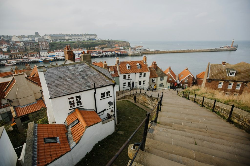
The walk finishes in Whitby. You can climb the 199 Steps to Whitby Abbey, visit St Mary’s Church, walk the harbour piers, or explore the old town around Church Street. The Captain Cook Memorial Museum is also nearby, set in the house where Cook lodged as an apprentice.
Sandsend is also a good starting point for longer walks north towards Runswick Bay, but that becomes a more serious coastal route with cliffs, climbs and fewer facilities. For most visitors, Sandsend to Whitby is the better day-out walk because it combines beach, views, food and landmarks without turning into a full day of hiking.
Direction: Sandsend to Whitby
Distance: Around 3 miles one way
Difficulty: Easy, if tides and weather are suitable
Look out for: Whitby Abbey views, beach cafés, the 199 Steps, Whitby harbour
Robin Hood's Bay
Robin Hood’s Bay is one of Yorkshire’s best beaches and is highly recommended for serious beach lovers. It’s well suited to holidaymakers interested in rock pools, fossils, old fishing lanes and a proper coastal walk. The village drops steeply down to the sea, with narrow streets, cottages, pubs and cafés packed into the hillside.
The beach is best at low tide, when the bay opens out and the rock platforms are exposed. It’s a good place for rock pooling and fossil hunting, but be aware as the tide comes in quickly and can cut off parts of the shore. We recommend you check tide times before planning a day on the beach.
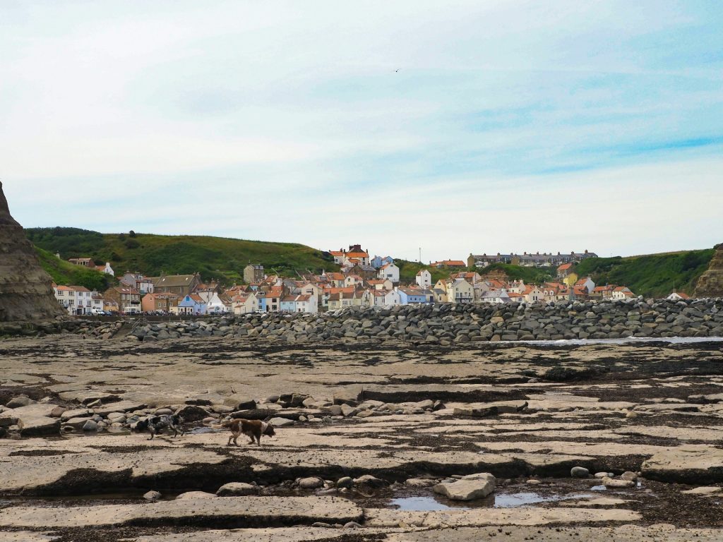
For walkers, Robin Hood’s Bay has two big claims to fame. It’s the end point of Wainwright’s Coast to Coast route, and it also sits on the Cleveland Way. A demanding but rewarding walk links Robin Hood’s Bay with Ravenscar, passing Boggle Hole, cliff paths and the old alum works. The full Ravenscar to Robin Hood’s Bay walk is about 11 miles and is usually classed as moderate to difficult because of the climbs, steps and cliff sections.
Boggle Hole is worth knowing about even if you don’t do the full route. It has a small beach, rock pools and a youth hostel in an old mill building, making it a popular stopping point on shorter walks from Robin Hood’s Bay.
Direction: Robin Hood’s Bay to Ravenscar and back
Distance: Around 11 miles circular
Difficulty: Medium to difficult
Look out for: Boggle Hole, old alum works, Coast to Coast finish, fossil rocks at low tide
Cayton Bay
Cayton Bay sits between Scarborough and Filey, but it feels less built-up than either. The beach is wide, sandy and backed by cliffs, with access from the clifftop down to the shore. It’s popular with surfers, paddleboarders, fossil hunters and walkers who want a beach with more space than Scarborough’s main sands.
The cliffs around Cayton Bay are part of the appeal, but they’re also a reason to be careful. Keep away from the cliff base, especially after rain or high tides, and check local signs before fossil hunting. The beach is often described as one of the main surfing spots on the Yorkshire coast, with the Scarborough Surf School based nearby.
A manageable walk is the stretch between Cayton Bay and Scarborough, using coastal paths where available. The distance is around 3 miles one way, depending on your start and finish points. It’s a medium walk rather than an easy promenade stroll, as the route involves clifftop sections and some changes in level.
For a day out, Cayton Bay can be paired with Scarborough Castle, Scarborough North Bay, the Sea Life Centre, Peasholm Park or the Cleveland Way route towards Filey. It suits visitors who want a beach with natural features but still want plenty of facilities close by.
Direction: Cayton Bay to Scarborough
Distance: Around 3 miles one way
Difficulty: Medium
Look out for: Surf, fossil cliffs, Scarborough Castle views, Osgodby Nab
Scarborough North Bay and South Bay
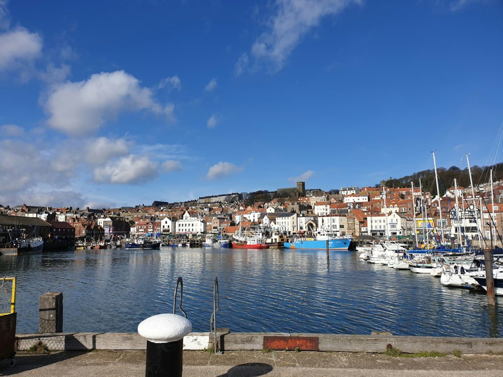
Scarborough gives you two different beaches in one town. South Bay is the busier, more traditional resort beach, with the harbour, amusement arcades, cafés, shops and donkey rides in season. North Bay is quieter and more open, with Peasholm Park and the Sea Life Centre nearby.
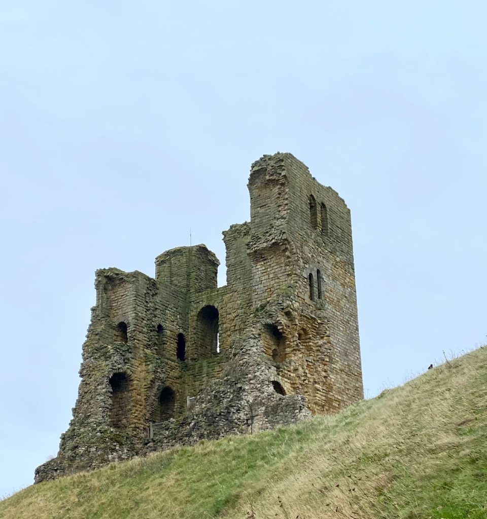
The headland between the two bays is topped by Scarborough Castle, which is the main landmark in the town. A simple but worthwhile walk links South Bay, the harbour, the castle headland and North Bay. The distance is around 2 to 3 miles depending on the route, with some steep streets and steps if you climb towards the castle.
South Bay is better for a classic seaside day with plenty of facilities close by. North Bay is better if you want more room, surfing conditions, beach walks and a less hectic feel. Both beaches are sandy making Scarborough a popular town for group holidays and family escapes.
For a longer day, you can continue north towards Scalby Mills or south towards Cayton Bay, but most visitors will get plenty from walking between the two bays and spending time around the castle. The castle ruins give some of the best views in Scarborough, with the whole town, harbour and coastline visible from the headland.
Direction: South Bay to North Bay via Scarborough Castle headland
Distance: Around 2 to 3 miles
Difficulty: Easy to medium, with some steep sections
Look out for: Scarborough Castle, harbour, Peasholm Park, Marine Drive
Saltburn Beach
Saltburn is one of the best Yorkshire beaches for a day that mixes sand, surf, Victorian engineering and coastal walking. The beach is long and sandy, with a pier, promenade, beach cafés and the famous cliff lift connecting the seafront with the town above.
The Saltburn Cliff Lift is one of the town’s standout landmarks. It is a water-balanced funicular and saves the climb between the pier and the upper town. The pier is another key feature, and the beach is well known for surfing, with local surf schools and equipment hire available.
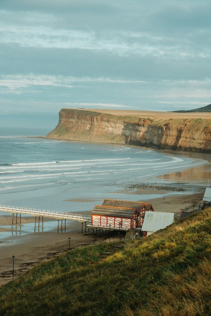
A good short walk follows the seafront and pier before heading up to the cliff path above the town. For a longer route, the Cleveland Way runs south from Saltburn towards Skinningrove and Staithes. Saltburn to Skinningrove is around 4 miles one way and takes you onto higher cliffs, with views back towards the town and along the coast.
The longer Cleveland Way section from Saltburn to Staithes is much more demanding and better suited to experienced walkers. It includes climbs, exposed clifftop paths and the Boulby cliffs, among the highest on the east coast of England.
Direction: Saltburn to Skinningrove on the Cleveland Way
Distance: Around 4 miles one way
Difficulty: Medium
Look out for: Saltburn Pier, cliff lift, surf beach, Cleveland Way views
Bridlington South Beach and Sewerby
Bridlington has two main beaches divided by the harbour. South Beach is wide, sandy and better suited to traditional beach days, with the promenade, Spa, harbour and town facilities nearby. North Beach has a more open feel and links naturally towards Sewerby.
For walks and views, the route from Bridlington towards Sewerby is the perfect route for spending quality time by the sea. The cliff-top walk from the north promenade leads towards Sewerby Hall and Gardens, with sea views along the way. A return walk between Bridlington and Sewerby is usually around 5 to 6 miles, depending on where you start and whether you explore the grounds.
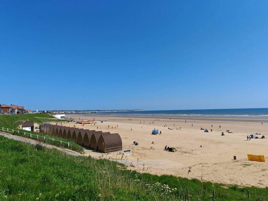
Sewerby Hall is one of the main attractions in the area for a day trip, with gardens, a zoo, exhibitions and views over Bridlington Bay. In season, the land train can make the route easier if you want to walk one way and ride back.
Bridlington is also a good starting point for Flamborough Head and Bempton Cliffs, although those are better treated as separate outings rather than add-ons to a beach day. If you want sand, facilities and a straightforward seaside setting, stay around South Beach. If you want a walk with better views, head north towards Sewerby.
Direction: Bridlington North Promenade to Sewerby Hall and back
Distance: Around 5 to 6 miles return
Difficulty: Easy to medium
Look out for: Bridlington harbour, Sewerby Hall, cliff-top views, land train in season
Flamborough Beaches and Bempton Cliffs
Flamborough is not a single beach day in the normal resort sense. It is a headland of chalk cliffs, coves, caves, seabirds, lighthouses and coastal paths. North Landing and South Landing are the main beach areas, both set below cliffs and both very different from the long sandy beaches at Bridlington or Filey.
North Landing has fishing boats, cliffs and rock pools at low tide. South Landing has a more wooded approach and a sheltered feel. Both beaches need tide awareness and care around cliffs. They are better for exploring, short beach stops and coastal walks than for a lazy all-day beach affair.
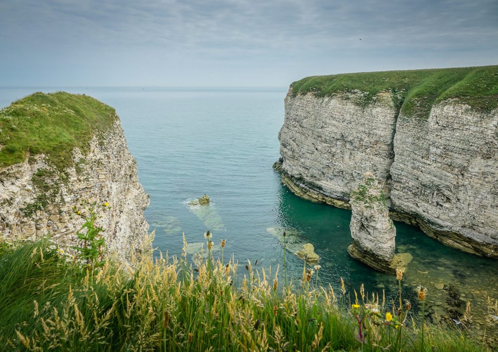
The main walk in this area is Flamborough Head to Bempton Cliffs which can be enjoyed via the England coast path. The linear route is about 5 miles one way along the cliff path. It’s usually moderate, mainly because of distance, exposure and uneven ground rather than technical difficulty. The views are excellent, and Bempton Cliffs is one of the best seabird sites in England.
Bempton is especially important between spring and summer, when gannets, guillemots, razorbills, kittiwakes and puffins can be seen from the viewing points. Flamborough Lighthouse and the older chalk tower are also worth seeing around the headland.
Direction: Flamborough Head to Bempton Cliffs
Distance: Around 5 miles one way
Difficulty: Medium
Look out for: Flamborough Lighthouse, North Landing, South Landing, chalk cliffs, RSPB Bempton Cliffs
Staithes Beach
Staithes is more village and harbour than classic beach resort, but it deserves a place here because it gives you one of the most distinctive coastal days out in Yorkshire. The beach is small and tidal, sitting below a tightly packed village of cottages, lanes and fishing history and is one of the best dog friendly beaches in Yorkshire.
The village has strong links to Captain Cook, who worked in Staithes before moving to Whitby, and to the Staithes Group of artists, who painted the local coast and fishing communities in the late 19th and early 20th centuries. The narrow streets, harbour walls and cliff-backed setting make it a good place to explore on foot.
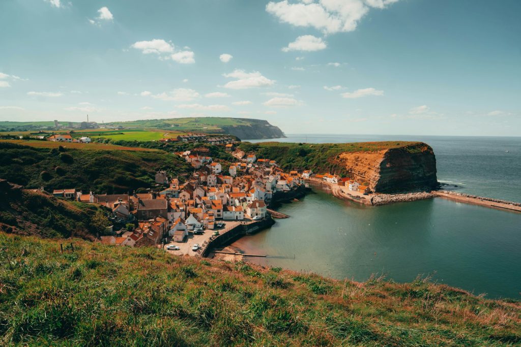
The walk south from Staithes to Runswick Bay is around 4 miles one way. It follows the Cleveland Way over the cliffs via Port Mulgrave. This is a medium walk, with climbs out of the village and exposed sections above the sea.
Staithes is also close to Boulby, where the cliffs rise dramatically along the coast. The higher, longer walks in this area are not casual beach strolls, but they give some of the most rugged views on the Yorkshire coast.
Direction: Staithes to Runswick Bay
Distance: Around 3.2 to 4.5 miles one way
Difficulty: Medium
Look out for: Staithes harbour, Captain Cook connections, Port Mulgrave, Cleveland Way cliffs
Which Yorkshire beach should you choose?
For traditional beach days or last minute breaks, choose Filey, Scarborough South Bay, Bridlington South Beach or Sandsend. They have sand, food, toilets and the kind of facilities that make a day by the sea easy and a lot of fun.
For walking, Filey Brigg, Runswick Bay, Robin Hood’s Bay, Saltburn and Flamborough provide interesting routes and better views. Choose these beaches if you want cliff paths, views or village stops as part of the day.
For wildlife and natural interest, Flamborough, Bempton, Filey Brigg, Cayton Bay and Robin Hood’s Bay stand out. You have seabirds, rock pools, fossils, cliffs and tidal shorelines, but also more reasons to check tides and stay away from unstable cliff faces.
For villages and character, choose Staithes, Runswick Bay, Robin Hood’s Bay or Sandsend. These are the places where the setting, lanes, harbour walls and local history are just as important as the beach itself.
Yorkshire’s beaches vary a lot, from resort sands and harbour beaches to fossil shores, surf spots and cliff-backed coves. The best choice depends on whether you want sand and facilities, a cliff walk, a village day out or a route with landmarks along the way. And if you are holidaying with your hound, be sure to check out all of the Yorkshire dog friendly coastal cottages listed with us, some that boast wonderful sea views.