

Trusted source of coastal cottages for over 10 years

Professionally managed and regularly inspected

Book securely with the property manager
Some of the best sea views in the UK are reached on foot. You don’t need to complete an entire long-distance trail either. Routes such as the South West Coast Path, Wales Coast Path and Cleveland Way can be broken into manageable sections, with many starting or finishing in coastal towns and villages.
This guide covers coastal walks in England, Wales and Scotland, including routes through Cornwall, Devon, Dorset, Pembrokeshire, Anglesey, Yorkshire, Northumberland and Norfolk. Some are straightforward half-day walks, while others involve steep climbs and exposed clifftop sections.
Here are some of the top UK coastal paths for sea views.
1. St Ives to Zennor, Cornwall
Route: St Ives to Zennor
Distance: Around 6 miles one way
Difficulty: Challenging
The South West Coast Path west of St Ives quickly leaves the town behind and follows the north Cornwall coast towards Zennor. It’s a relatively short route on paper, but the rocky and uneven path makes it considerably harder than the distance suggests.
The route passes above coves including Porthmeor Cove and follows an exposed stretch of coast before reaching Zennor. There are views out across the Atlantic for much of the walk.
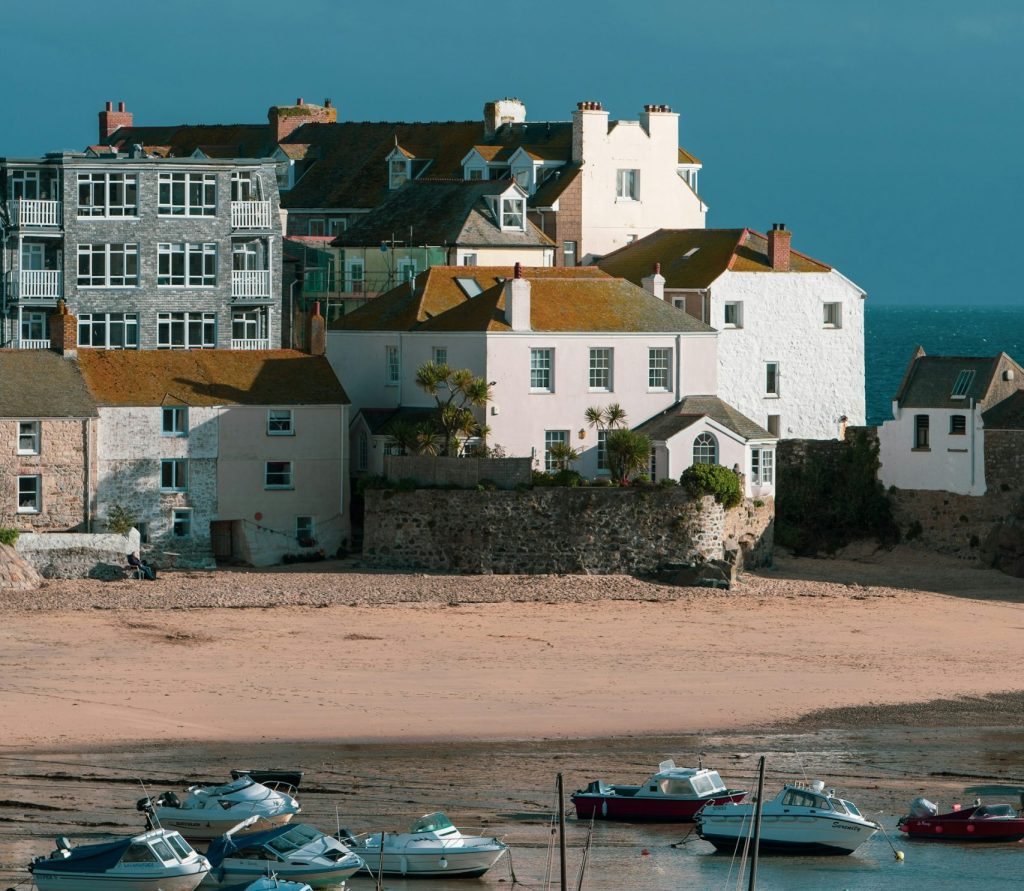
This isn’t a flat clifftop stroll. There are repeated climbs and descents, rocky sections and places where the path will command your full attention. Walking boots or other suitable footwear are recommended.
St Ives makes for a practical base because you can explore shorter sections of the path in either direction as well. Walk east and the coast path continues around St Ives Bay towards Carbis Bay, Lelant and Hayle.
If you want to explore other parts of the county on foot, our guide to coastal walking in Cornwall includes routes around the north, west and south coasts, with distances and difficulty levels for each walk.
Our St Ives cottages by the sea include properties around the town and surrounding coast.
2. Baggy Point and Croyde, North Devon
Route: Croyde and Baggy Point
Distance: Around 4–5 miles depending on route
Difficulty: Moderate
Baggy Point separates Croyde Bay from the long sweep of Woolacombe Sands and provides one of the most accessible stretches of the South West Coast Path in North Devon.
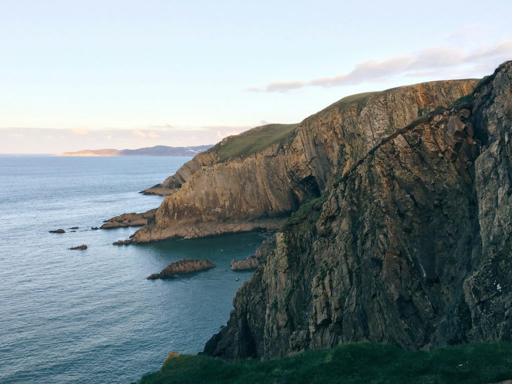
A circular walk can be made from Croyde, following the coast towards Baggy Point before returning inland. From the headland there are views across Croyde Bay and north towards Woolacombe.
The National Trust manages much of Baggy Point, and the main path onto the headland is relatively straightforward compared with some sections of the North Devon coast. Longer routes can continue towards Putsborough and Woolacombe.
Croyde and nearby Woolacombe both work well if walking is going to be a major part of your holiday. Our places to stay on the North Devon coast include cottages close to this part of the South West Coast Path.
3. Salcombe to Bolt Head, South Devon
Route: Salcombe to Bolt Head via South Sands
Distance: Approximately 5–6 miles depending on start and finish
Difficulty: Moderate
The South West Coast Path around Salcombe follows the western side of the Kingsbridge Estuary before continuing around Bolt Head.
Starting in Salcombe, you can follow the coast south past North Sands and South Sands. Beyond the beaches, the route continues towards Sharp Tor and Bolt Head, where the path turns west above the open coast.
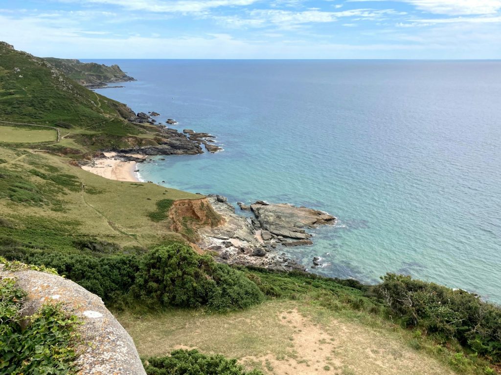
There are views back towards the estuary as well as across the sea from the higher sections. The terrain becomes more demanding once you leave the roads and beaches around Salcombe, with climbs and uneven ground.
You can turn back at several points rather than completing a longer route. This makes Salcombe a useful starting point for walkers who want a choice of distances.
This is only one part of Devon’s coastline. Our guide to Devon coastal walks covers more routes in both North and South Devon, including walks past beaches, harbours and headlands.
Browse our Salcombe seaside cottages if you want to stay close to this section of the coast.
4. Lulworth Cove to Durdle Door, Dorset
Route: Lulworth Cove to Durdle Door
Distance: Around 2.5 miles one way
Difficulty: Moderate to challenging
This is one of the shorter walks on our list, but it includes a steep climb out of Lulworth Cove.
The route forms part of the South West Coast Path and the Jurassic Coast World Heritage Site. From Lulworth, the path climbs over the chalk hills before reaching Durdle Door and Man O’War Bay.
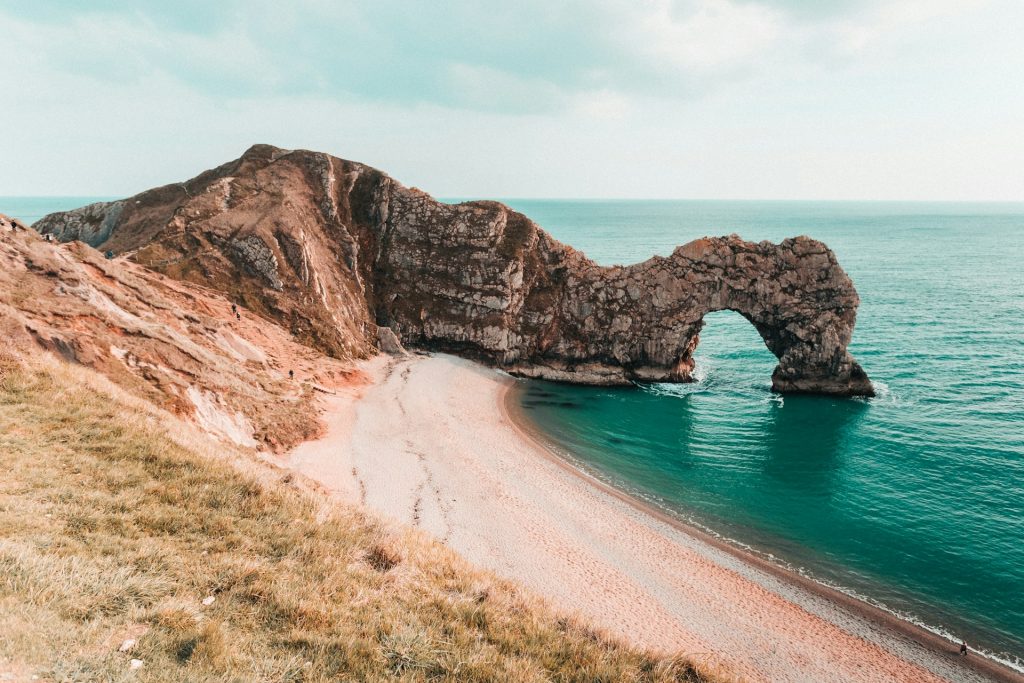
The elevated sections provide views along the Dorset coast, while the beaches below can be reached using designated paths and steps.
You can return to Lulworth along the same route, making the walk approximately five miles in total. The steep gradients mean it can take longer than you might expect from the distance.
For a longer walk, the South West Coast Path continues west towards White Nothe and Weymouth or east around the coast towards Kimmeridge.
Our coastal cottages in Dorset cover locations along the Jurassic Coast and further east towards Poole.
5. St Davids Head and Whitesands, Pembrokeshire
Route: Whitesands to St Davids Head and return
Distance: Around 4 miles
Difficulty: Moderate
The Pembrokeshire Coast Path provides 186 miles of walking between St Dogmaels and Amroth, but you can explore it in much shorter sections.
One of the most manageable starts at Whitesands, west of St Davids. The path follows the coast north towards St Davids Head, passing above small bays and rocky sections of coastline.
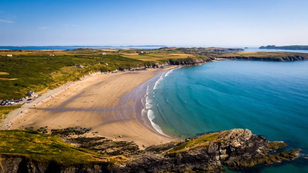
The headland provides views towards Ramsey Island, which lies across Ramsey Sound. You can return along the same coastal route or use inland paths to create a longer circular walk.
This part of Pembrokeshire can be exposed in poor weather, and the path runs close to cliff edges in places.
The full Pembrokeshire Coast Path has approximately 35,000 feet of ascent and descent, so anyone planning several consecutive sections should expect much more climbing than the relatively low cliffs might suggest.
Our Pembrokeshire cottages by the sea include stays around St Davids and other parts of the county’s 186-mile coast path.
6. Anglesey Coast Path Around Rhosneigr, North Wales
Route: Rhosneigr and the west Anglesey coast
Distance: Flexible
Difficulty: Easy to moderate depending on section
The Isle of Anglesey section of the Wales Coast Path makes a complete circuit of approximately 130 miles. For a shorter walk with easy access to beaches and a village, Rhosneigr is an ideal starting point.
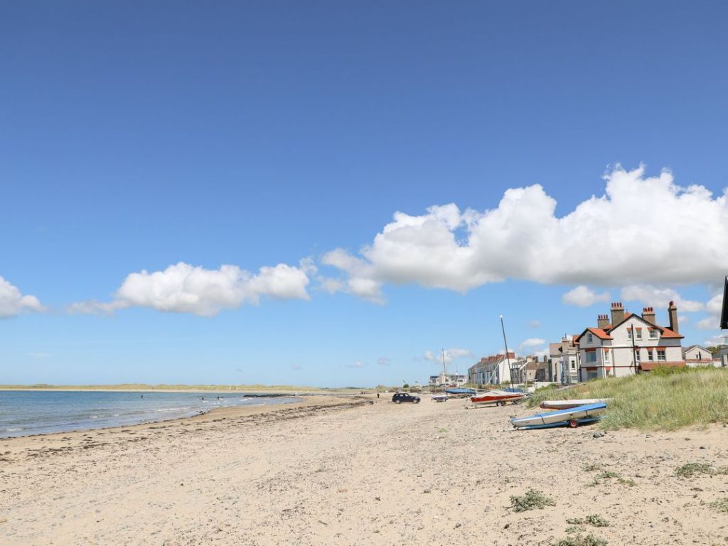
The coast path passes Traeth Crigyll and Traeth Llydan before continuing around Anglesey’s western coast. Walkers can choose a short beach and coast path combination or follow a longer section towards Rhoscolyn and Holy Island.
The landscape here is quite different from the high cliffs of Cornwall or Pembrokeshire. Much of the appeal comes from the open coastline, beaches and views towards the mountains of mainland North Wales on clear days.
The full Anglesey circuit is a serious multi-day walk, but individual sections are easily incorporated into a coastal holiday.
Our coastal cottages on Anglesey include properties around Rhosneigr, Trearddur Bay, Benllech and other parts of the island.
7. Whitby to Robin Hood's Bay, Yorkshire
Route: Whitby to Robin Hood’s Bay
Distance: Around 7 miles one way
Difficulty: Moderate
This section of the Cleveland Way follows the cliffs south from Whitby towards Robin Hood’s Bay.
Leaving Whitby, the route climbs onto the cliffs and passes close to Whitby Abbey before continuing south. There are sea views for much of the walk, with the path eventually descending into Robin Hood’s Bay.
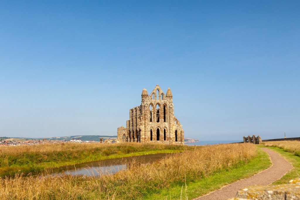
The route is undulating rather than flat and includes several climbs and descents. Cliff erosion can also lead to local diversions, so check current National Trail information before setting out.
Robin Hood’s Bay has pubs, cafés and bus connections, making a one-way walk possible without having to retrace the whole route.
The Cleveland Way itself is 109 miles long. It begins at Helmsley, crosses the North York Moors and reaches the coast at Saltburn before following the shoreline to Filey Brigg.
Our Yorkshire coastal cottages include stays in Whitby and other towns and villages along this section of the coast.
8. Craster to Dunstanburgh Castle, Northumberland
Route: Craster to Dunstanburgh Castle
Distance: Around 1.5 miles each way
Difficulty: Easy to moderate
You don’t need to walk far to get good coastal views in Northumberland. The route from Craster to Dunstanburgh Castle follows a relatively straightforward section of coast north of the village.
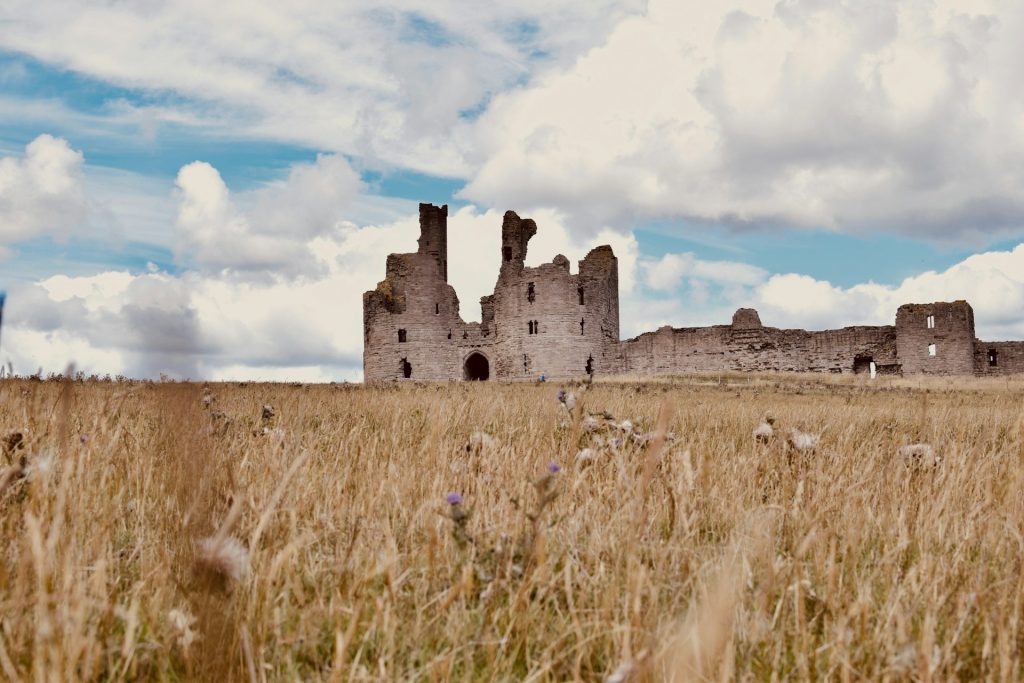
The ruins of Dunstanburgh Castle stand on a headland above the sea and remain visible for much of the approach. From the castle, walkers can return to Craster or continue north towards Embleton Bay and Low Newton.
Extending the walk is worthwhile if you have time. Embleton Bay has a long sandy beach and the coast path continues through some of the best-known parts of the Northumberland Coast National Landscape.
The wider Northumberland Coast Path runs for approximately 62 miles between Cresswell and Berwick-upon-Tweed.
Take a look at our places to stay on the Northumberland coast for cottages around Craster, Embleton, Beadnell, Seahouses and Bamburgh.
9. Holkham to Wells-next-the-Sea, Norfolk
Route: Holkham to Wells-next-the-Sea
Distance: Around 3 miles one way depending on route
Difficulty: Easy
Norfolk provides a useful alternative if you want coastal walking without repeated steep climbs.
The coast between Holkham and Wells-next-the-Sea combines beach, dunes and pine woods. At low tide, Holkham Beach has an extensive area of exposed sand, while Wells is known for the beach huts lining the edge of the woods.
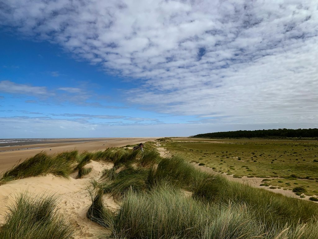
This area is connected to the Norfolk Coast Path, which forms part of the King Charles III England Coast Path. The Coasthopper bus also serves settlements including Hunstanton, Holkham and Wells, which can make linear walks easier to organise.
The landscape is much flatter than Cornwall, Devon or Dorset, but distances across the sand can be deceptive. Tide conditions should also be checked if your planned route involves walking extensively along the beach.
For other routes in the county, our guide to Norfolk coastal walks includes walks through beaches, dunes, nature reserves and coastal villages.
Our Norfolk beach cottages include properties around Wells-next-the-Sea and other parts of the North Norfolk coast.
10. Seven Sisters to Eastbourne, East Sussex
Route: Seven Sisters to Eastbourne via Birling Gap and Beachy Head
Distance: Around 7–8 miles
Difficulty: Moderate to challenging
The eastern end of the South Downs Way provides one of the most recognisable coastal walks in southern England.
From Seven Sisters Country Park, the route crosses the chalk cliffs of the Seven Sisters before passing Birling Gap and continuing over Beachy Head towards Eastbourne.
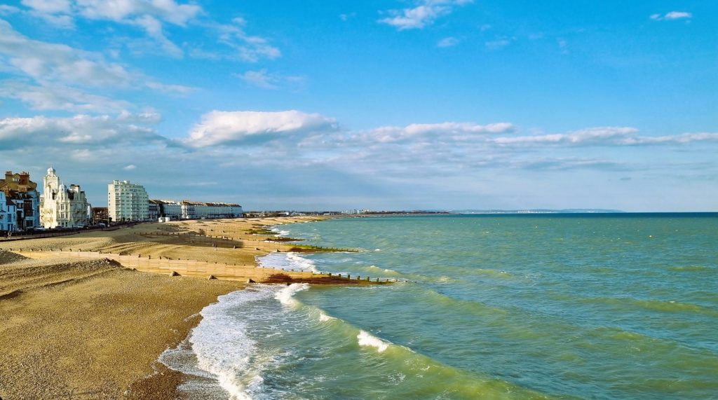
Expect repeated steep climbs and descents. The official South Downs National Park route is around seven to eight miles and takes approximately three to four hours.
There are toilets and refreshments at Seven Sisters Country Park, Birling Gap and Beachy Head, and bus connections make it possible to plan the walk without leaving a car at both ends.
The cliffs are unfenced in places. Keep well back from the edge because chalk cliffs can collapse without warning.
Our coastal cottages in East Sussex include stays around Eastbourne, Pevensey Bay and other parts of the Sussex coast.
11. Fife Coastal Path, Scotland
Route: Elie to St Andrews area
Distance: Choose individual sections
Difficulty: Moderate, with some demanding sections
The Fife Coastal Path gives Scotland a very different entry on this list. The complete route is around 117 miles and runs from Kincardine in West Fife to Newburgh in the north.
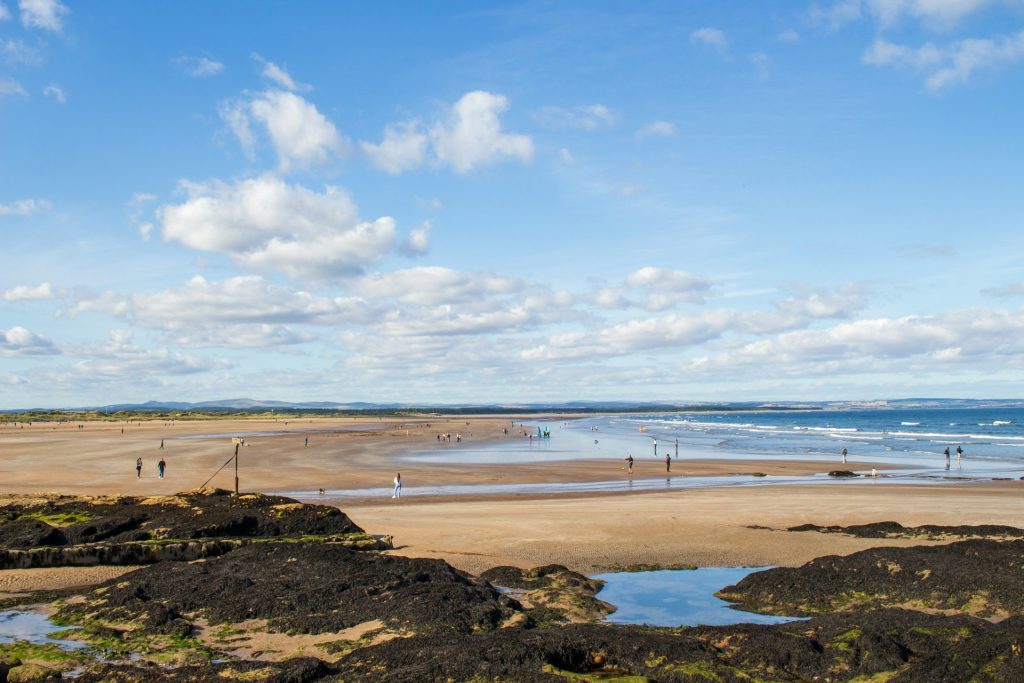
For a coastal holiday, the eastern sections are particularly interesting. The path passes through the East Neuk fishing villages, including Elie, St Monans, Pittenweem, Anstruther and Crail, before continuing towards St Andrews.
Individual stretches can be walked as day routes rather than attempting all 117 miles. The terrain varies significantly, from straightforward promenades and tracks to rougher coastal sections.
The route passes beaches, harbours and rocky shoreline, with views across the Firth of Forth and the North Sea depending on the section.
Our Fife coastal cottages provide places to stay close to several sections of the route.
12. The Isle of Wight Coastal Path
Route: Various sections around the Island
Distance: Choose individual day walks
Difficulty: Easy to challenging depending on section
The Isle of Wight is particularly useful for walkers because the coastal path can be divided into a number of manageable sections.
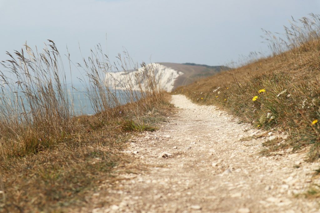
One of the best areas for sea views is the west of the Island. Routes around Freshwater Bay, Tennyson Down and the Needles combine high ground with views across the English Channel and towards the chalk stacks at the western end of the Island.
There are also coastal sections around Ventnor and the Undercliff in the south, and around Bembridge and Culver Down in the east.
Conditions vary considerably around the circuit. Some stretches use promenades and relatively level paths, while others involve steep climbs, cliff-top walking and road sections.
Our Isle of Wight beach cottages include stays around Freshwater, Ventnor, Shanklin and other coastal locations.
Choosing a UK Coastal Walk
Distance alone doesn’t tell you how difficult a coastal walk will be. Five miles on a flat section of the Norfolk coast is very different from five miles on the South West Coast Path in Cornwall.
Check the amount of ascent and descent, path conditions and available transport before setting out. Coastal erosion can result in diversions, particularly on cliff routes, so use current information from the relevant National Trail or local authority rather than relying on an old route description.
Weather matters too. Exposed headlands can be difficult in strong winds, and rain can make steep paths slippery. On routes involving beaches or tidal crossings, check tide times before leaving.
You also don’t need to complete a famous trail from end to end. The South West Coast Path is 630 miles long, the Pembrokeshire Coast Path is 186 miles and the Cleveland Way is 109 miles. All three can be enjoyed as individual day walks.
Stay Close to the UK's Best Coastal Paths
A coastal cottage gives you the option of exploring different sections of a path during the same holiday rather than trying to cover a long-distance route in one trip.
Beach Stays has coastal cottages across England, Wales and Scotland, including properties close to the South West Coast Path, Wales Coast Path, Cleveland Way, Northumberland Coast Path and Norfolk Coast Path.
Browse our UK cottages by the sea to find somewhere to stay near the coast and start planning your next walk.