

Trusted source of coastal cottages for over 10 years

Professionally managed and regularly inspected

Book securely with the property manager
Wales offers hundreds of miles of coastal walking, with routes passing beaches, cliffs, harbours, estuaries and seaside towns. Some walks take most of the day, while others can be completed in a couple of hours.
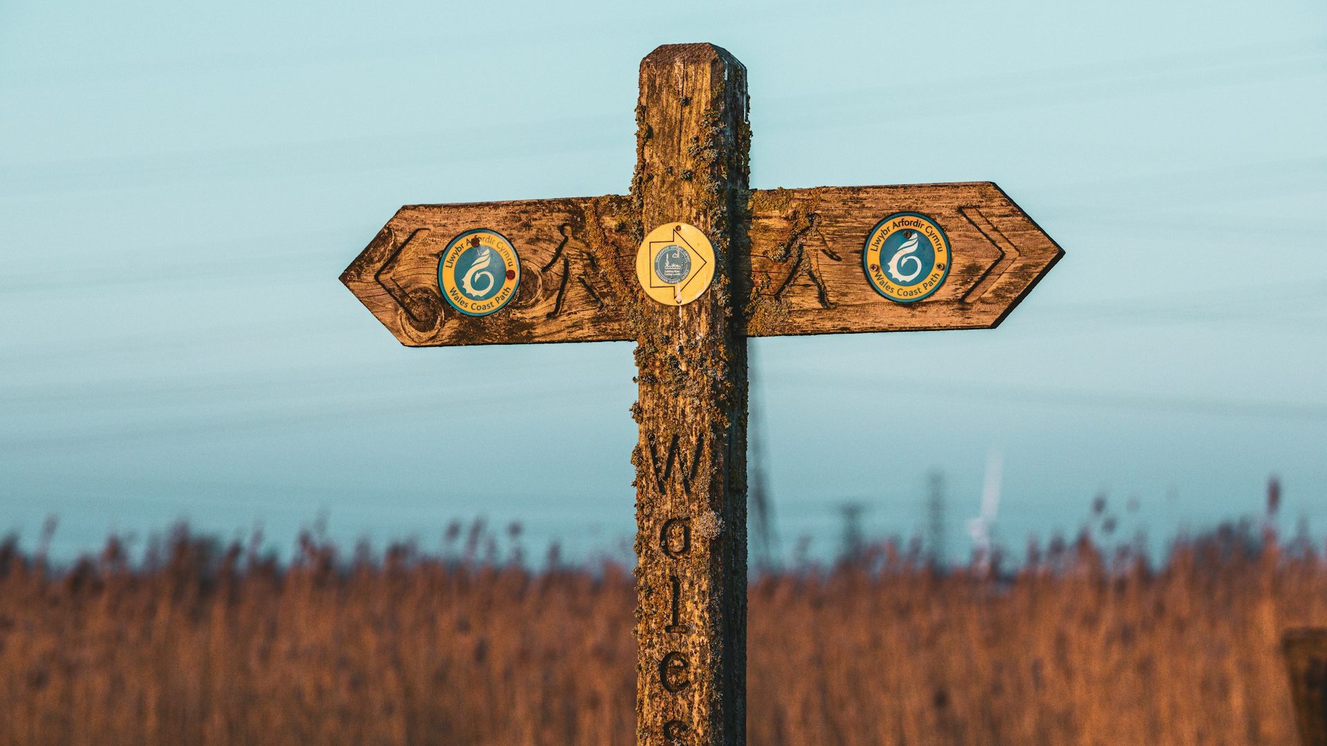
The Wales Coast Path follows the entire Welsh coastline, but you don’t need to walk a full stage to enjoy it. We’ve picked ten routes from different parts of the country, including Pembrokeshire, Cardigan Bay, Anglesey, the Llŷn Peninsula, Gower and the North Wales coast.
1. Tenby to Saundersfoot, Pembrokeshire
Distance: Around 4.5 miles / 7 km
Route: One way
Difficulty: Moderate
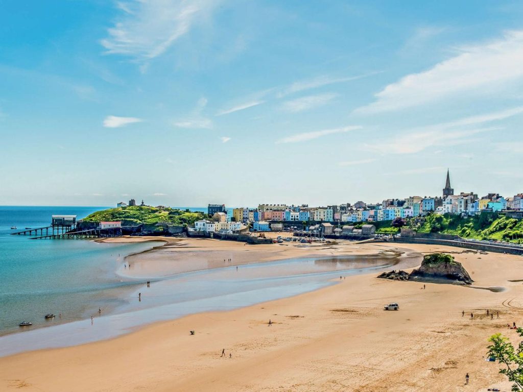
Tenby and Saundersfoot are two of Pembrokeshire’s main seaside towns, and the coast path provides a direct walking route between them.
Starting in Tenby, the path heads north along the coast towards Saundersfoot. There are several climbs and descents along the way, with views across Carmarthen Bay before the route drops into Saundersfoot.
Both towns have plenty of places to eat and drink, and bus and rail connections make it possible to return without walking the same route again.
There are several beaches at Tenby, while Saundersfoot has a large sandy beach beside the harbour. You can read more about both in our guide to the top beaches in Pembrokeshire.
If you’d like to stay nearby, our Tenby beach cottages put you close to the coast path, beaches and town centre.
2. Whitesands to Solva, Pembrokeshire
Distance: Around 13 miles / 21 km
Route: One way
Difficulty: Challenging
This is a much longer day on the Pembrokeshire Coast Path.
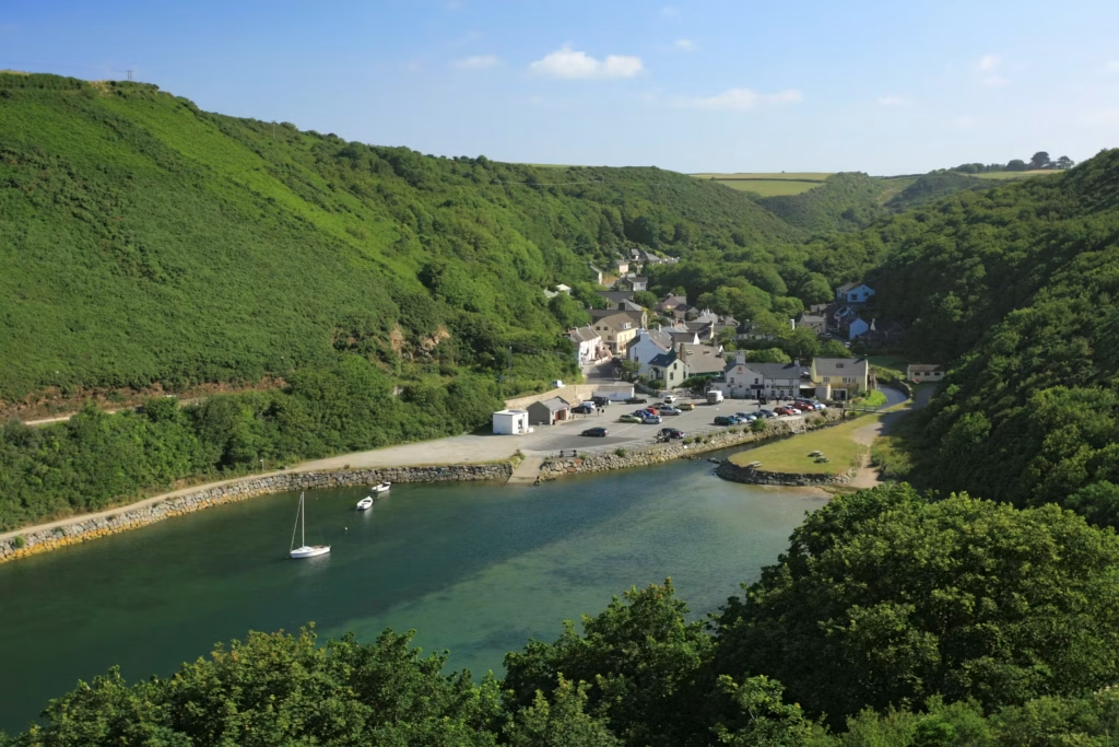
Starting at Whitesands, the path follows the coast around the St Davids peninsula before continuing towards Solva. Much of the route is away from roads and towns, with repeated climbs and descents along the cliffs.
The coast around St Davids also provides views towards Ramsey Island and Ramsey Sound. The final section takes you towards Solva and its long, narrow harbour.
At around 13 miles, this is a route to allow most of the day for. Shorter walks are possible around Whitesands and St Davids Head if you don’t want to cover the full distance.
Our places to stay on the Pembrokeshire coast include cottages around St Davids as well as other parts of the county.
3. New Quay to Cwmtydu, Ceredigion
Distance: Around 4 miles / 6.4 km
Route: One way
Difficulty: Moderate
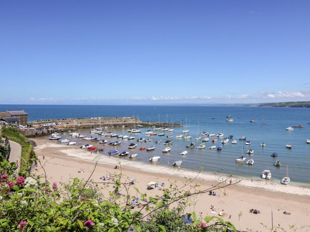
New Quay is a convenient starting point for exploring the Ceredigion section of the Wales Coast Path.
From the harbour, the path heads south towards Cwmtydu. It passes National Trust land at Birds Rock and Cwm Soden, with several elevated sections overlooking Cardigan Bay.
Bottlenose dolphins live in Cardigan Bay and can sometimes be seen from the coast, although sightings aren’t guaranteed.
The walk finishes at Cwmtydu, a small sheltered cove surrounded by steep coastal slopes. You can continue towards Llangrannog if you want a considerably longer walk.
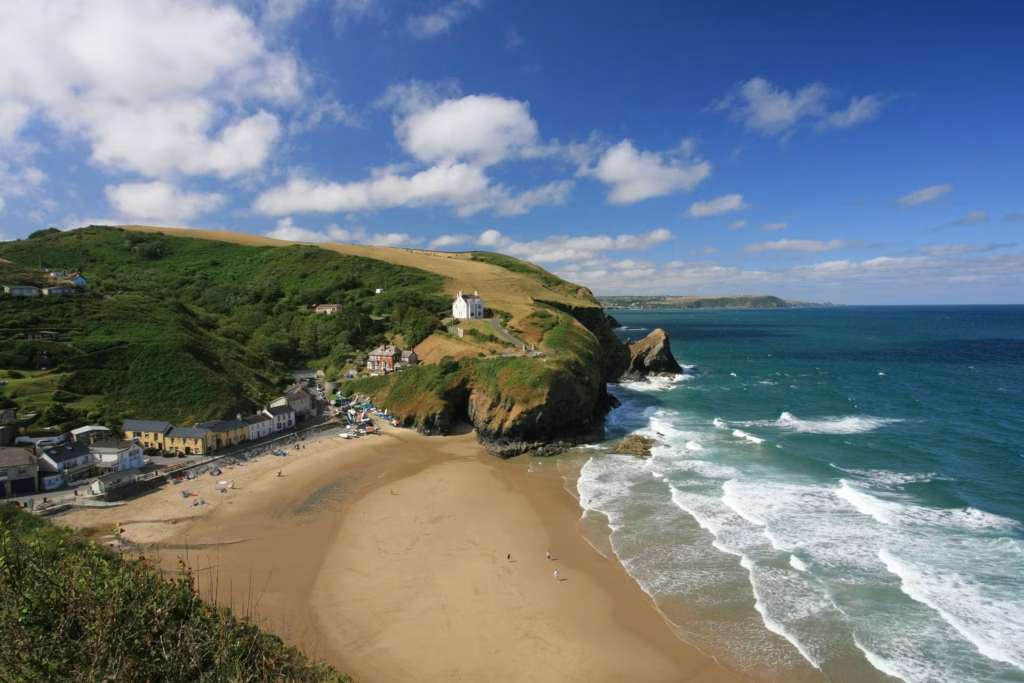
4. Cwmtydu to Llangrannog, Ceredigion
Distance: Around 4.75 miles / 7.5 km
Route: One way
Difficulty: Challenging
The distance isn’t particularly long, but this section of the Ceredigion Coast Path includes repeated climbs and descents.
One of the main landmarks along the route is Ynys Lochtyn, a narrow headland extending into Cardigan Bay. The path then continues south towards Llangrannog.
Llangrannog has a sandy beach below the village, with the distinctive Carreg Bica rock standing at the northern end.
You can combine this section with the previous walk to create a much longer route from New Quay. Another option is to continue south from Llangrannog towards Penbryn and Aberporth.
Our West Wales beach cottages include stays around New Quay, Llangrannog and other parts of the Cardigan Bay coast.
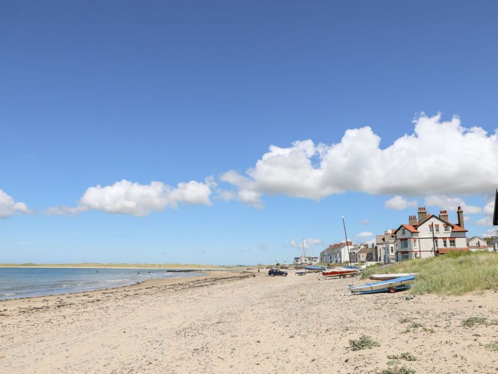
5. Rhosneigr and Llyn Maelog, Anglesey
Distance: Around 2.25 miles / 3.6 km
Route: Circular
Difficulty: Easy
This short circular route is a very different proposition from the cliff walks in Pembrokeshire and Ceredigion.
Starting near Rhosneigr, the route takes you around Llyn Maelog, where reed beds provide habitat for a variety of birds. An accessible boardwalk also leads to a viewing platform beside the lake.
Rhosneigr’s beaches are close by, so you can easily add a walk along the sand or pick up another section of the Anglesey Coast Path.
If you want to spend a few days exploring the island on foot, our coastal cottages on Anglesey include properties around Rhosneigr and other parts of the coast.
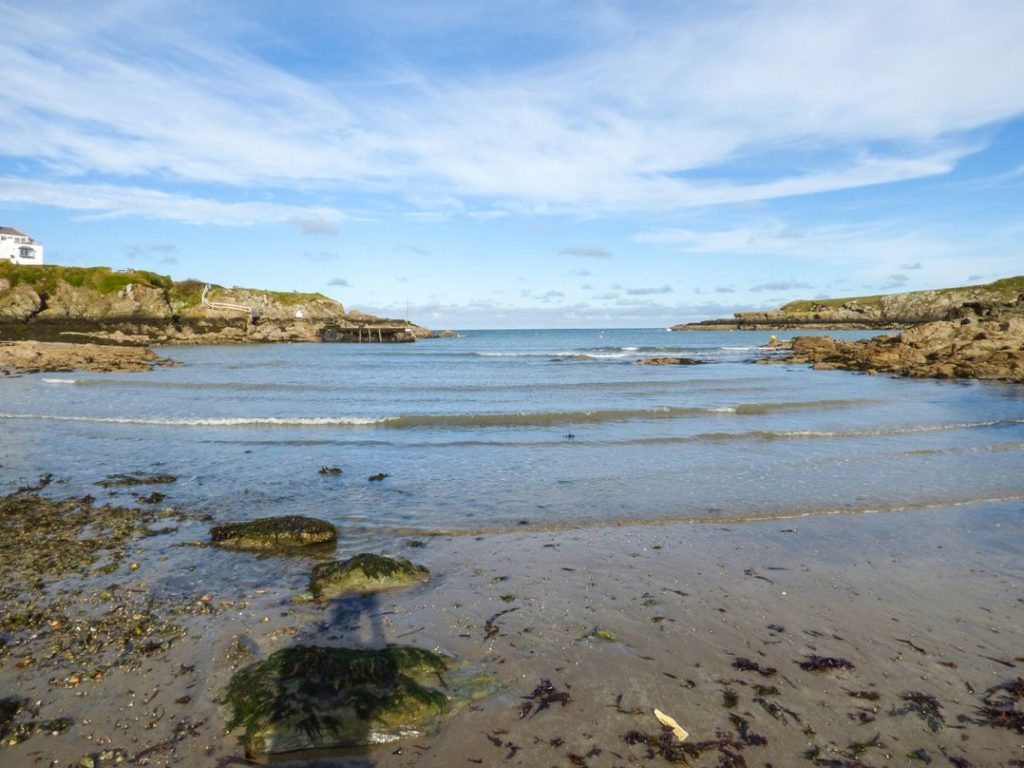
6. Amlwch Port to Cemaes, Anglesey
Distance: Around 8.25 miles / 13.25 km
Route: One way
Difficulty: Moderate
For a longer Anglesey walk, start at Amlwch Port on the north coast and follow the coast path west towards Cemaes.
The route passes rocky stretches of coastline and several small bays, including Porth Llechog, better known as Bull Bay. Further along the route you pass Porth Wen, where the remains of a former brickworks stand beside the coast.
The path then continues towards Llanbadrig before reaching Cemaes.
If coastal walking is going to be a major part of your holiday, you can find more Welsh routes in our guide to the top UK coastal paths with sea views, which also includes walks in Cornwall, Devon, Dorset, Yorkshire, Norfolk and Scotland.
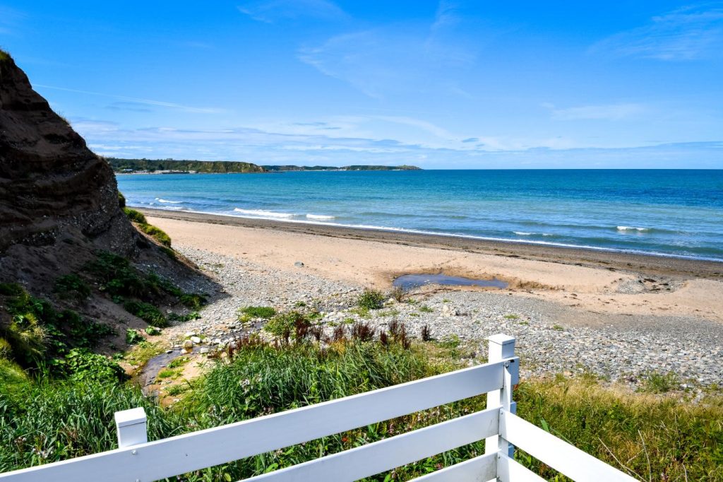
7. Nefyn to Porthdinllaen, Llŷn Peninsula
Distance: Around 2.75 miles / 4.5 km
Route: One way
Difficulty: Easy to moderate
The Llŷn Peninsula provides some of the best coastal walking in North Wales, and this relatively short route links Nefyn with Porthdinllaen.
The path follows the northern side of the peninsula, with views across the Irish Sea before reaching the small coastal village of Porthdinllaen.
Much of Porthdinllaen is only accessible on foot, and the beach curves around a sheltered bay below the headland.
The short distance makes this a manageable walk if you don’t want to spend the whole day on the coast path. You can also extend it by continuing along the Llŷn coastline.
Our places to stay on the North Wales coast include properties on the Llŷn Peninsula and around other coastal towns and villages.
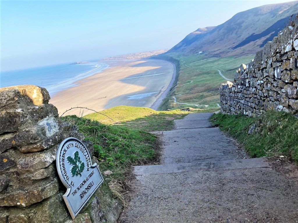
8. Rhossili Coastal Trail, Gower
Distance: Around 6 miles / 9.6 km
Route: Circular
Difficulty: Moderate
Rhossili sits at the western end of the Gower Peninsula, overlooking the long sweep of Rhossili Bay.
The coastal trail covers around six miles, taking in open headland, cliffs and views over the beach. This is also an excellent area for spotting seabirds.
Worm’s Head lies just offshore and is connected to the mainland by a rocky tidal causeway. If you plan to cross to the headland, check the official crossing times carefully. The causeway becomes submerged as the tide rises.
Rhossili Bay itself extends for around three miles, so it’s easy to add a beach walk before or after the main route.
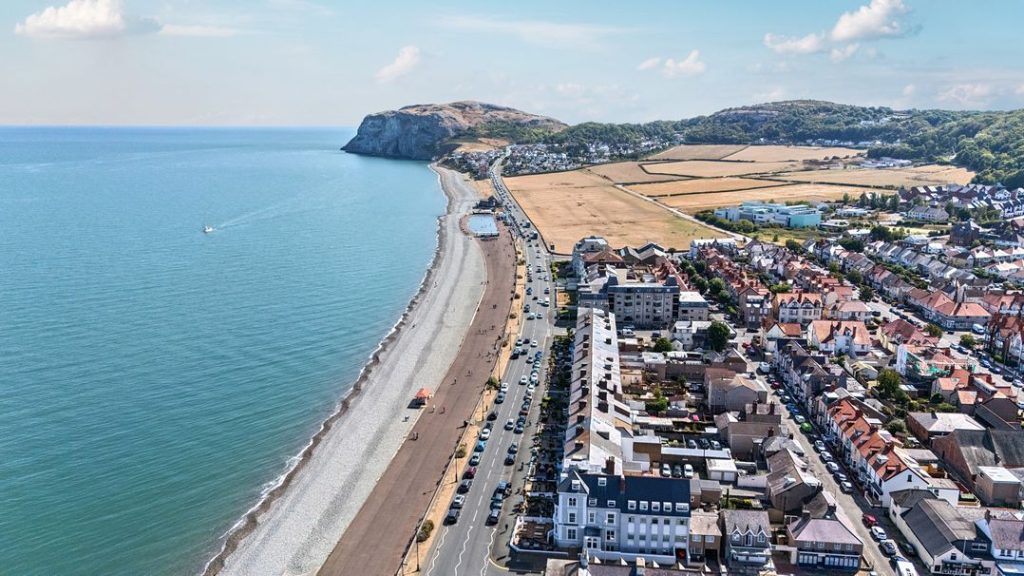
9. Llandudno to Conwy, North Wales
Distance: Around 8 miles / 13 km
Route: One way
Difficulty: Moderate
Starting in Llandudno, this route takes you around the Great Orme before continuing towards Conwy.
The first section follows the limestone coastline around the headland. From the higher ground there are views across the sea and along the North Wales coast.
The route then reaches Llandudno’s West Shore before continuing beside the Conwy Estuary. It finishes in Conwy, close to the castle, harbour and town walls.
If eight miles is more than you want to tackle, you can shorten the walk by starting or finishing at West Shore.
Regular transport connections between Llandudno and Conwy also make this one of the easier one-way walks to organise.
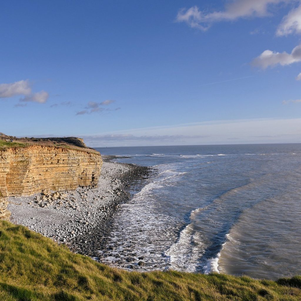
10. Llantwit Major to Nash Point, Vale of Glamorgan
Distance: Around 3 miles / 5 km
Route: One way
Difficulty: Moderate
Our final route follows part of the Glamorgan Heritage Coast in South Wales.
Starting at Llantwit Major Beach, the path follows the cliffs west towards Nash Point. Along the way you’ll pass limestone cliffs, small bays and sections of rocky shoreline.
The route passes Tresilian Bay and continues near St Donat’s Castle before reaching Nash Point Lighthouse.
At around three miles, this is one of the shorter walks on the list. There are car parks at both ends, making it possible to organise a linear walk rather than returning along the same path.
Planning Your Walk
Distance isn’t always a reliable guide to difficulty. A short section of the Pembrokeshire or Ceredigion coast can involve considerably more climbing than a longer walk on flatter ground.
Check the route, weather and path conditions before setting out. Walking boots or other suitable footwear are advisable on steep or uneven sections, particularly after rain.
Tides also need to be considered when a route involves beaches, estuaries or tidal headlands. Worm’s Head at Rhossili is a clear example, but it’s worth checking tide times whenever you plan to walk for any distance along the beach.
Coastal erosion can occasionally result in path closures and diversions, so use current information from the Wales Coast Path or relevant local authority when planning your walk.
Explore More of the Welsh Coast
These ten routes cover only a small part of the Welsh coastline. You can find shorter walks around seaside towns, longer sections through remote countryside and plenty of routes that combine the coast path with a beach.
Pembrokeshire alone has 186 miles of coast path, while Anglesey has a complete coastal circuit of around 130 miles. Cardigan Bay, the Llŷn Peninsula, Gower and the North Wales coast provide plenty more possibilities.
If you’re deciding where to base your holiday, our guide to the best seaside towns in Wales covers places including Tenby, Saundersfoot, New Quay, Aberaeron, Aberdovey and Abersoch.
You can also browse our Wales coastal holiday homes to find places to stay near beaches, seaside towns and sections of the Wales Coast Path.